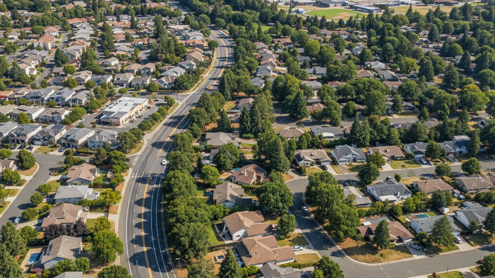
Santa Rosa, CA serves as the primary transportation hub for Sonoma County. Highway 101 bisects the city, creating a central corridor that connects local neighborhoods directly to the broader San Francisco Bay Area.
While owning a car remains the standard for most residents, local infrastructure offers multiple ways to travel. The expanding rail network, dedicated cycling trails, and regional bus systems provide clear alternatives for daily commutes and weekend travel.
Major Roadways and Regional Commute Times
Drivers in Santa Rosa, CA rely on two main arteries: Highway 101 running north to south and Highway 12 running east to west. These primary routes form the backbone of the local road network.
Highway 101 serves as the primary commuter route down to Marin County and the San Francisco Peninsula. A standard drive from Santa Rosa down to Petaluma, CA takes about 20 to 40 minutes, depending on morning traffic patterns.
Commuting all the way into San Francisco generally takes between one and two hours. Commuters should check traffic reports before heading out, as congestion near the Golden Gate Bridge extends travel times during peak morning hours.
Highway 12 connects residents to the surrounding Wine Country. This route runs west toward Sebastopol and the coast, and east toward the Sonoma Valley.
Trains, Buses, and Ferry Connections
The Sonoma-Marin Area Rail Transit (SMART) train system operates across 45 miles of track from Sonoma County down to Larkspur. This rail line provides a direct alternative to driving on Highway 101.
Santa Rosa features three distinct SMART train stations: Santa Rosa North, Santa Rosa Downtown, and the Sonoma County Airport station. A train ride from the downtown station to Petaluma takes roughly 25 to 30 minutes.
The SMART train line also connects directly to the Larkspur ferry terminal. Riders can transfer from the train to the ferry for a traffic-free trip across the bay into San Francisco.
For local trips, Santa Rosa CityBus and Sonoma County Transit operate extensive routes throughout the city. These buses connect residential areas to commercial centers, Historic Railroad Square, and neighboring towns.
Dedicated Trails for Walking and Cycling
The Joe Rodota Trail provides an 8.5-mile paved path connecting Santa Rosa directly to Sebastopol. This off-street trail system allows cyclists and pedestrians to travel away from vehicle traffic.
The Santa Rosa Creek Trail offers another major artery, running east to west right through the middle of the city. This path connects multiple parks and residential areas to the downtown core.
The relatively flat terrain throughout the central neighborhoods makes daily cycling practical. Commuters using the rail system will find secure bike parking available at all local SMART stations.
Accessing Airports and Medical Centers
The Charles M. Schulz-Sonoma County Airport sits just seven miles northwest of downtown Santa Rosa. This local airport offers direct flights to several major western cities, saving residents the drive to larger regional hubs.
When international travel is required, residents use Groome Transportation to reach San Francisco International Airport or Oakland International Airport without parking a car. These shuttle services run on a regular daily schedule.
Healthcare facilities are centrally located and easy to reach from most neighborhoods. Santa Rosa Memorial Hospital sits on Montgomery Drive, approximately 1.5 miles from the downtown center.
Frequently Asked Questions
Is Santa Rosa a walkable city?
Walkability depends on the specific neighborhood you choose. The downtown area and Historic Railroad Square offer high walkability with shops, restaurants, and transit clustered together.
In the outer residential areas, you will likely need a car or bicycle for daily errands. Buyers should review walk scores for specific streets before purchasing a home.
How can I get around Sonoma County without driving?
The SMART train provides the fastest north-south travel through the county. For east-west trips, Sonoma County Transit buses run regular routes connecting local towns and major shopping centers.
Cyclists also use the extensive paved trail network to travel between cities. The combination of buses, trains, and bike paths covers most of the region.
Does Santa Rosa, CA have Uber or other rideshare services?
Yes, Uber, Lyft, and local taxi services operate throughout the city. Wait times are shortest near the downtown core, the airport, and major transit hubs.
Rideshare services are frequently used by visitors touring local wineries or residents heading to the airport. You can easily request a ride using standard mobile applications.